
The Objective
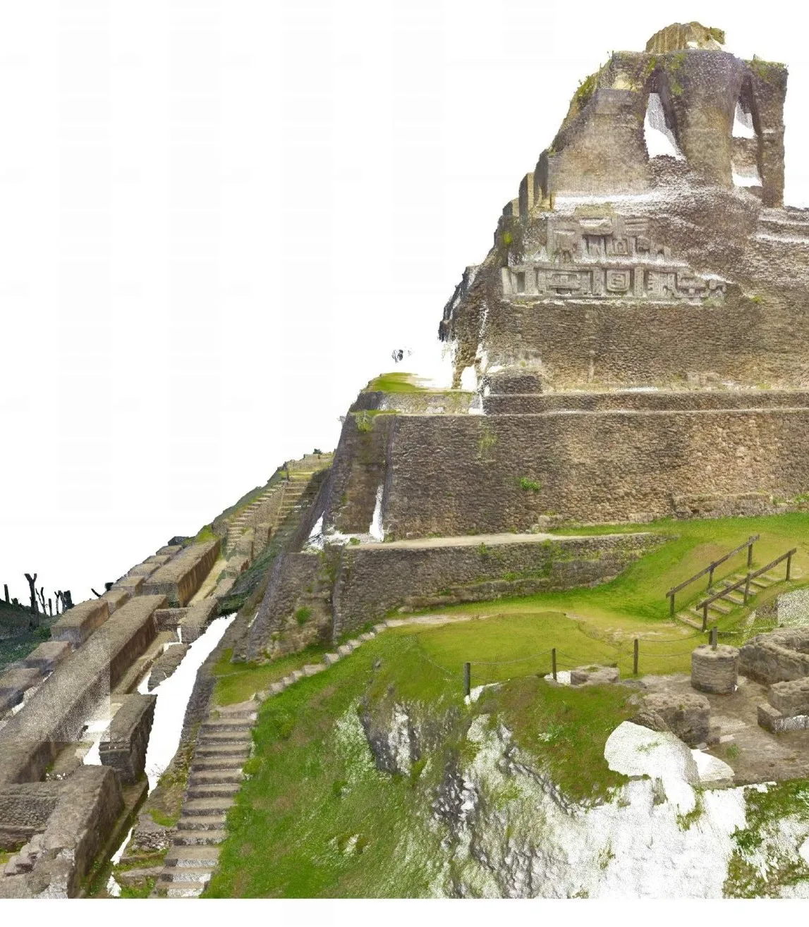
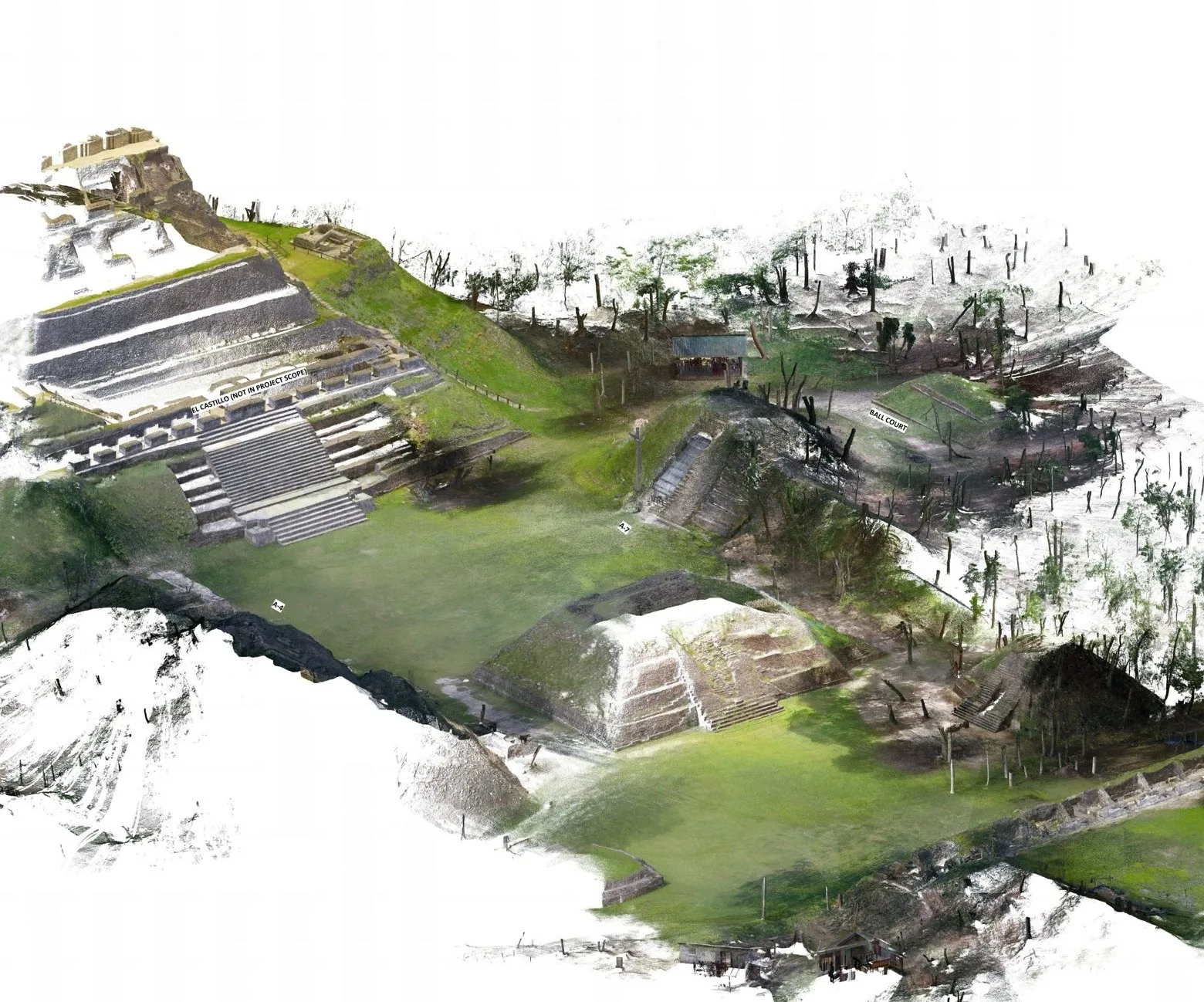
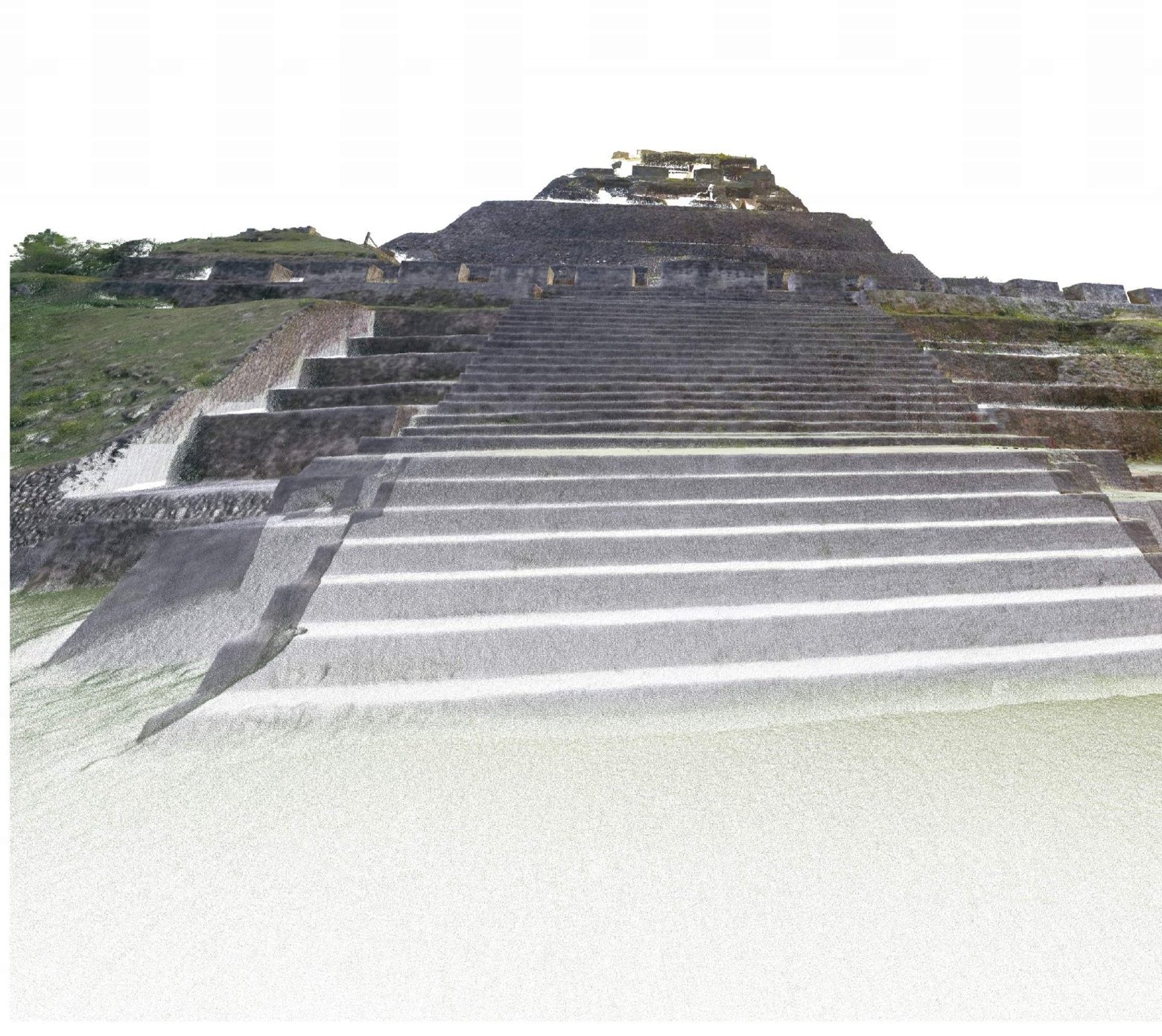
Xunantunich is a Maya ceremonial center above the Mopan River near San Jose Succotz, Belize, and El Castillo, its 130-foot pyramid, is one of the tallest structures in the country. Over two field campaigns in June and August 2023 we laser scanned the core of the site to produce a measured, color 3D record of Structures A-4, A-7 and A-13, with the surrounding plazas and El Castillo captured along the way. The scans include before-and-after passes over areas newly excavated that summer, so the exact extent of the excavation is on record.
The Challenge
- A hilltop site in the tropics: dense canopy, steep terrain and daily rain, with every setup carried up by hand.
- An open archaeological park: visitors moved through the plazas all day, and the scans had to be cleaned so the stone, not the crowd, is the record.
- Two campaigns weeks apart, with excavation in between, that had to register into a single site-wide coordinate frame.
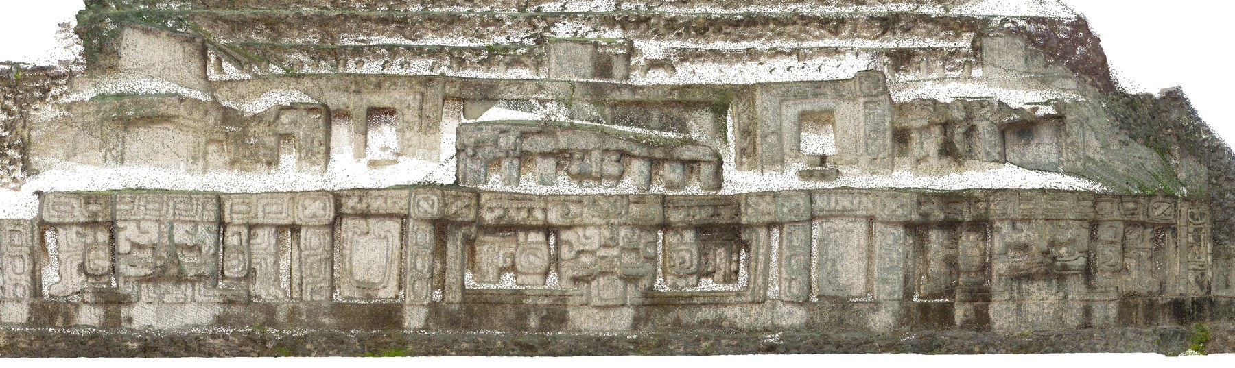
- Carved stucco friezes high on El Castillo that needed far finer detail than the plazas around them.
Our Approach
260 setups, one cloud
Terrestrial LiDAR across the site core, registered into a single color point cloud: 315 links, bundle error 0 3/16 in, 72% overlap.
Before and after
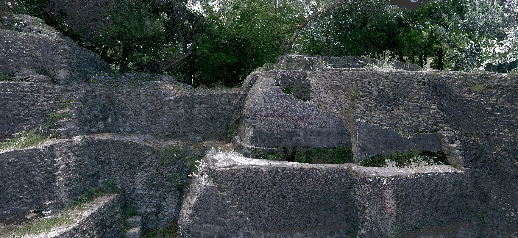
Areas excavated in summer 2023 were scanned before and after the dig, so the two states can be compared in the same coordinates.
Cleaned for the record
Visitors and the tree canopy were removed from the cloud where they hid the architecture, leaving the structures legible from any angle.
Frieze meshes
The east and west friezes of El Castillo were scanned at high density and meshed, with exports for Revit, OBJ, FBX, glTF and USDZ.
What We Delivered
- A registered color point cloud of the site core, accurate to 3/16 in across the entire site.
- A 35-sheet documentation set: 3D views, plans and sections of each structure, with a vicinity map.
- Before-and-after scans of the summer 2023 excavation areas.
- High-density meshes of the El Castillo east and west friezes, delivered as Revit mesh, OBJ, FBX, glTF and USDZ.
- Registration report certifying the scan accuracy.
Why It Mattered
- The site has a measured record that no photograph or hand survey could give: any dimension can be taken from the cloud later, from anywhere.
- Excavation progress is documented in the same coordinates as the standing architecture.
- The frieze meshes preserve carved detail that weathers a little more every rainy season.
Related Services
Historic Preservation ScanningReality Capture ServicesCAD Drafting and As-Built Drawings
Planning a Similar Project?
Tell us about your building and what you need to know before work begins. We respond promptly. Call (480) 770-6336 or use the contact page.