
Let people walk the property before they ever drive to it.
Line & Circle captures homes, resorts, commercial spaces and active jobsites as interactive 3D tours with floor plans and measurements built in. One link does the showing, the site walk and the progress report.
More than a walkthrough. A record of the whole property.
Photos show a room. A tour shows how the rooms connect, how big they are and what condition they are in on the day we captured them.
Interactive 360° walkthrough
Move room to room from any device. Visitors orient themselves on the floor plan while they look around, so nobody gets lost.
Floor plans and measurements
Every tour ships with a floor plan, room dimensions and total square footage as a PDF. They are built for layout and planning, not for construction: when a job needs survey-grade numbers, our laser scanning takes over.
- Room-by-room sizes
- Total and per-level area
- Measure walls and openings inside the tour for planning purposes
Share it anywhere
One link works on listing sites, in email, on social media and in a proposal. We host it, keep it live and update it when the property changes.
- Branded or unbranded versions
- Optional CAD floor plans for design and renovation work
- Upgrade path to a full laser scan when you need construction-grade accuracy
Built for the people who have to show a space to someone who isn't there.
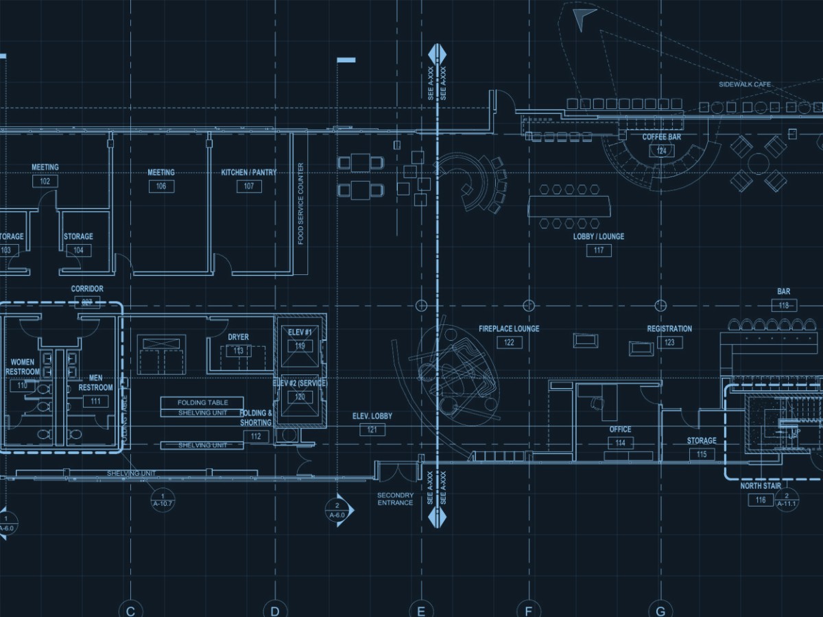
Real estate agents and brokers
Buyers decide which listings deserve a visit before they call you. A tour answers the layout questions up front, so the showings you do drive to are the serious ones, and out-of-state buyers can evaluate a property without a flight.
- Residential listings: tour, floor plan, room sizes, hosting for the life of the listing
- Luxury and investment properties: enhanced presentation plus CAD plans for the next owner's renovation
- Land and development parcels: existing structures, site features and access documented so remote investors can commit
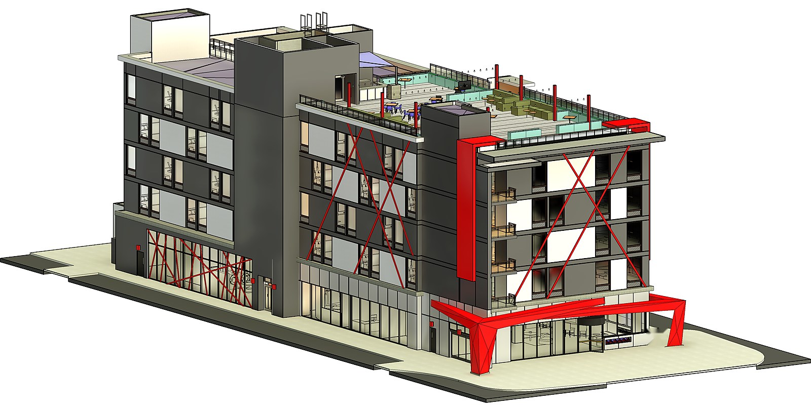
Resorts, hotels and hospitality
Guests, group planners and investors all want the same thing: to see the rooms, the venues and the way the property flows before they book or buy. A tour does that twenty-four hours a day, in any time zone, and it never gets a room number wrong.
- Room types, suites and event spaces guests can explore before booking
- A complete layout for wedding and conference planners
- Documented existing conditions for buyers, insurers and renovation teams
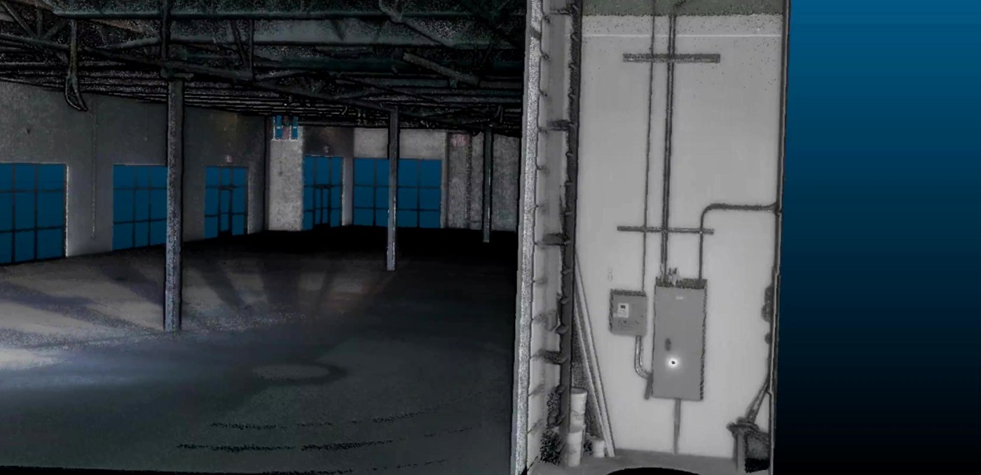
Construction progress monitoring
We capture the jobsite on a schedule — weekly, monthly or at each milestone — and give the owner a dated tour for every visit. An owner in another state can walk the site the day after we do, compare it with last month, and confirm what is in the walls before they close up.
- Dated captures in sequence, from demolition to punch list
- Rough-in records of plumbing, electrical and framing before drywall
- Fewer site visits for owners, lenders and out-of-town stakeholders
- Final as-built tour and floor plans for handover and facilities
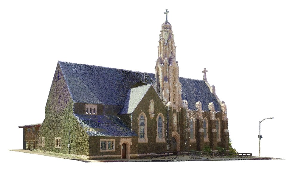
Commercial spaces, historic sites and facilities
Completed build-outs, clinics, tenant spaces, churches and landmarks. A tour becomes the as-built record for the facilities team, the showcase for the contractor who built it, and the virtual visit for anyone who can't be there in person.
- As-built documentation at handover
- Portfolio pieces for contractors and designers
- Public access to historic interiors without the foot traffic
Pick the capture that fits the job. We do both.
A 3D tour is the visual record: fast to capture, easy to share, and the right tool for general layout and planning. Our terrestrial laser scanning is the measurement tool: it captures the same space to about 1/8 inch, which is what design, fabrication and permits require. A tour’s dimensions are nowhere near that, and we never pretend otherwise. Many clients start with a tour and add a scan for the areas that go to design and construction.
| 3D virtual tour | Laser scan (LiDAR) | |
|---|---|---|
| Best for | Listings, hospitality, progress records, as-built walkthroughs | Design, construction documents, Scan-to-BIM, historic preservation |
| What you get | 360° tour, floor plan PDF, room dimensions, square footage, hosted link | Point cloud, Revit/CAD model, drawings, sections, elevations |
| Accuracy | Approximate: room sizes and overall layout for planning and marketing, not for construction dimensions | About 1/8 inch: the measured record for design, fabrication, permits and as-builts |
| Time on site | Hours for most properties | Half a day to several days, depending on the site |
| Combine them | Tour the whole building, laser scan the areas that matter. One visit, one team. | |
Need the survey-grade version? See our laser scanning services →
From first call to live link, usually inside a week.
Tell us about the property
Address, size and what the tour is for. We quote from that; most proposals go out within a day.
We capture it
A few hours on site for most properties. We work around tenants, guests and crews, and we photograph the space the way you want it shown.
We process and host it
Tour, floor plans and measurements are assembled and checked. You get one link and the PDFs.
You share it
Drop it in the listing, the proposal, the owner report or the website. We keep it live and can re-capture whenever the space changes.
What clients ask before their first tour.
How accurate are the floor plans from a 3D tour?
Good for marketing, space planning and layout decisions, with room dimensions and total square footage, but they are approximate. A tour is a visual record first. For anything that will be designed, fabricated or permitted from the numbers, we add a terrestrial laser scan, which is accurate to about 1/8 inch.
Does the tour work on a phone?
Yes. The tour opens in any modern browser on phone, tablet or desktop with no app to install. Larger screens show more of the floor plan at once.
How long does the tour stay online?
Hosting is included for an agreed period (a year is typical for listings) and can be extended for as long as you need the tour live. Progress-monitoring tours stay up through the project.
Can people on site see each other in the tour?
We schedule captures when the space is clear and remove anyone who wanders through, so the tour shows the property, not the people.
Can I get CAD or Revit files from a tour?
Yes. Tours can be exported to CAD floor plans for design and renovation work. When the project needs a full existing-conditions model we laser scan the space and deliver Revit directly.
Where do you travel?
We are based in the Phoenix East Valley and cover all of Arizona within days. Out-of-state and repeat-visit monitoring work is scheduled by arrangement.
Give them the tour before they ask for the showing.
Tell us what you need to show and to whom. You'll get a written scope and a capture date, usually within a day.